top of page
eeab4c1-1c80-61a-42b6-7b3d2d74a12_Drone_Filmmaking_3.jpg

Apex Aerial Surveys

Precision in Every Flight

Bringing aerial surveying services to new heights for you.

Expert Aerial Surveys

Our Story

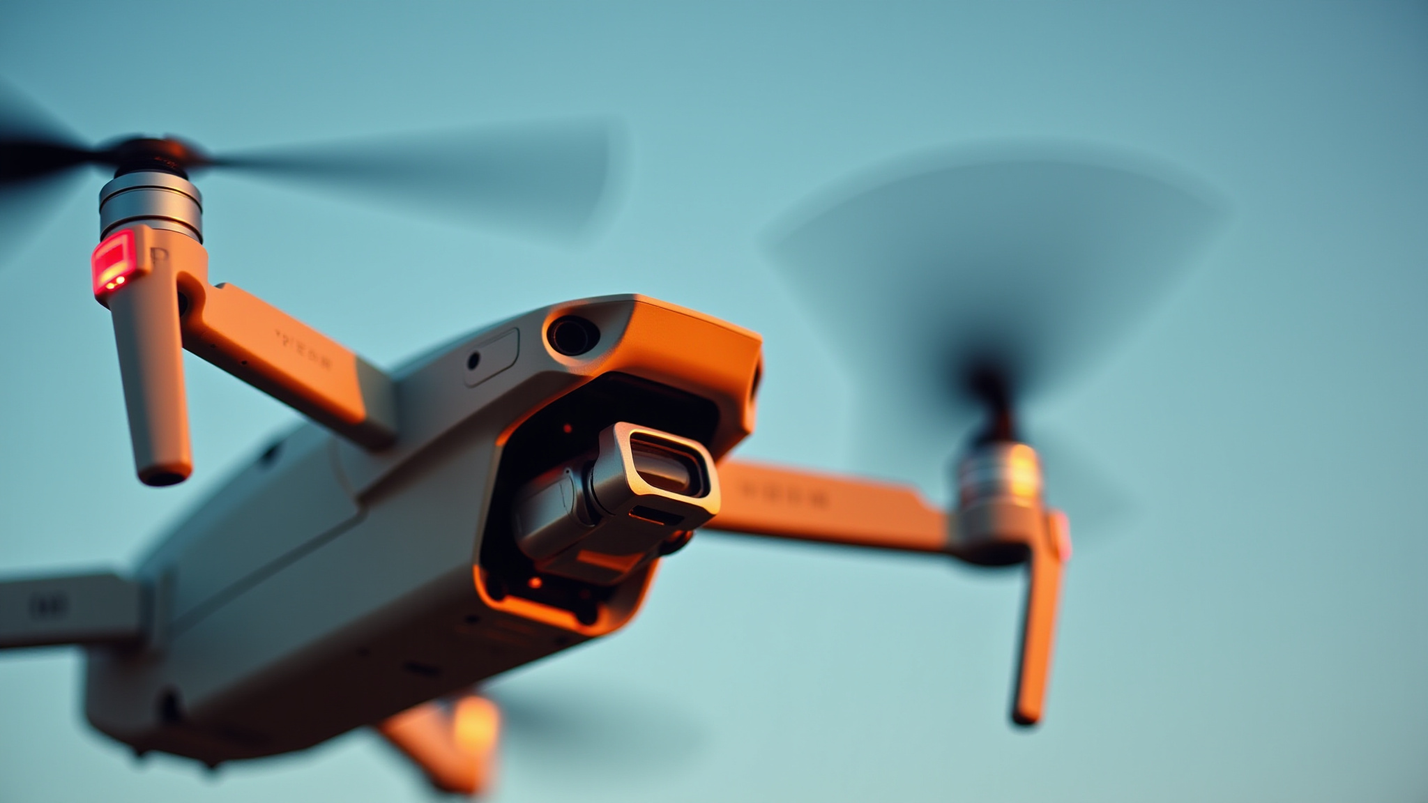
Apex Aerial Surveys was founded to provide a smarter, safer, and more efficient way to capture aerial data. Using professional drone technology, we help clients gain clear insights without the cost, risk, or disruption of traditional access methods.


We specialise in aerial photography and video, construction progress surveys, roof and property inspections, and site surveys, delivering high-quality visuals and reliable results tailored to each project.


With a strong focus on safety, compliance, and clear communication, we work closely with homeowners, contractors, and businesses to ensure every survey is planned carefully and delivered to a high standard.


Whether you need progress tracking, inspection imagery, or marketing visuals, Apex Aerial Surveys provides a professional, dependable service from start to finish.

Home-About-1.jpg

Our Services

Asset Inspection

Free Quote Available

Aerial drone mapping image used for land survey and site planning

3D Mapping & Photogrammetry

Free Quote Available

Top-down aerial drone image of land site for survey analysis

Aerial Photography & Videography

Free Quote Available

Aerial drone photograph of an industrial property for roof inspection

Building & Roof Inspections

Free Quote Available

Top-down aerial drone image of land site for survey analysis

Storm / Insurance Damage Inspections

Free Quote Available

Drone inspection of building structure for construction monitoring

Construction Progress Monitoring

Free Quote Available

​Professional drone Surveys You Can Rely On

Why choose Apex Aerial Solution?

Trusted, professional drone surveying solutions tailored to your project.

  • CAA registered & fully insured

  • High-Resolution Drone imaging

  • Fast, Reliable Turnaround 

  • Cost-effective, Low-disruption Surveys

  • Professional, Friendly Service

  • Detailed visual reports & deliverables

  • Safe alternative to traditional access methods

  • Flexible scheduling to suit your site

  • Clear communication from start to finish 

Aerial drone view of land site for mapping and survey work

Accredited & Compliant Drone Operations

  • CAA Registered Drone Operator

  • Flyer & Operator IDs in place

  • Public Liability Insurance

  • Risk Assessments & Flight Planning

  • Safe, Responsible Drone Operations

Professional survey drone used for aerial inspections and mapping
Apex Aerial Surveys
Apex Aerial Surveys provides structured aerial inspection and 3D documentation services for residential, commercial and construction projects across the North East.
 
High-resolution drone imagery delivered to support inspection, site monitoring and project documentation.

Services


Aerial 3D Photogrammetry

2D Orthomosaic Mapping

Roof & Building Inspections

Construction Progress Monitoring

Site & Land Documentation

Contact

📞 Phone: 01642 088116

📱 Mobile / WhatsApp:

07984155347

📧 Email: info@apexaerialsurveys.co.uk


📍 Serving residential, commercial and Industrial sites across the North of England.

Apex Aerial Surveys drone survey and aerial inspection company logo

© 2025 by Apex Aerial Surveys. Powered and secured by Wix

bottom of page